Sutherland Bayou Watershed Management Plan
Pinellas County, FL
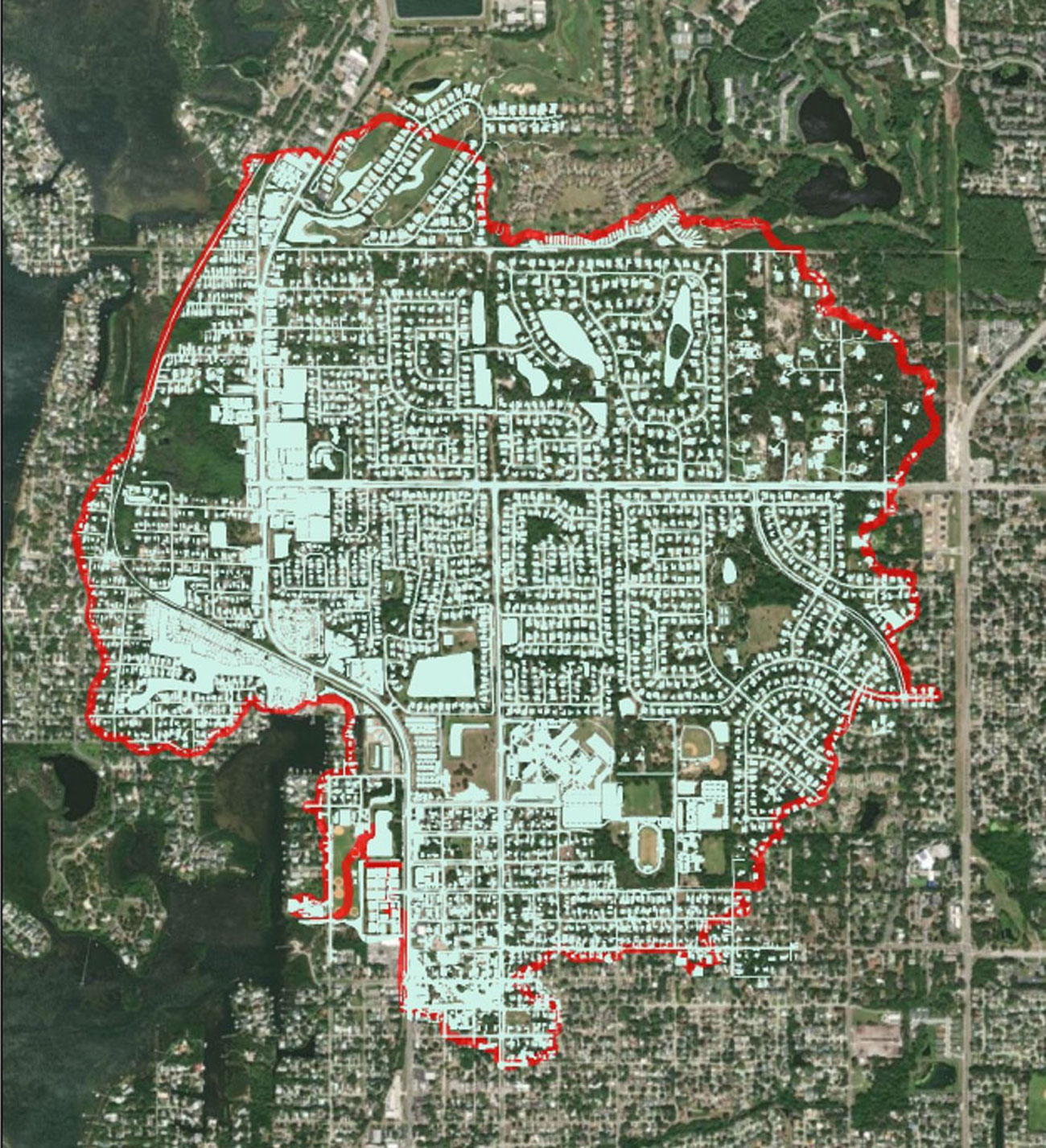
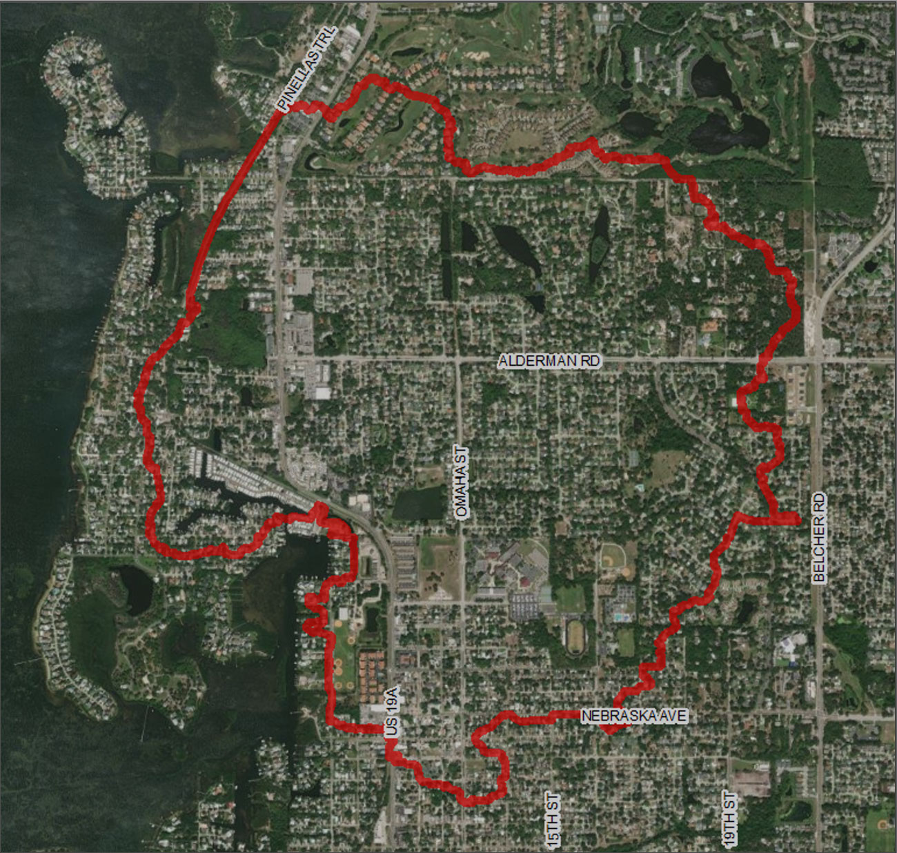
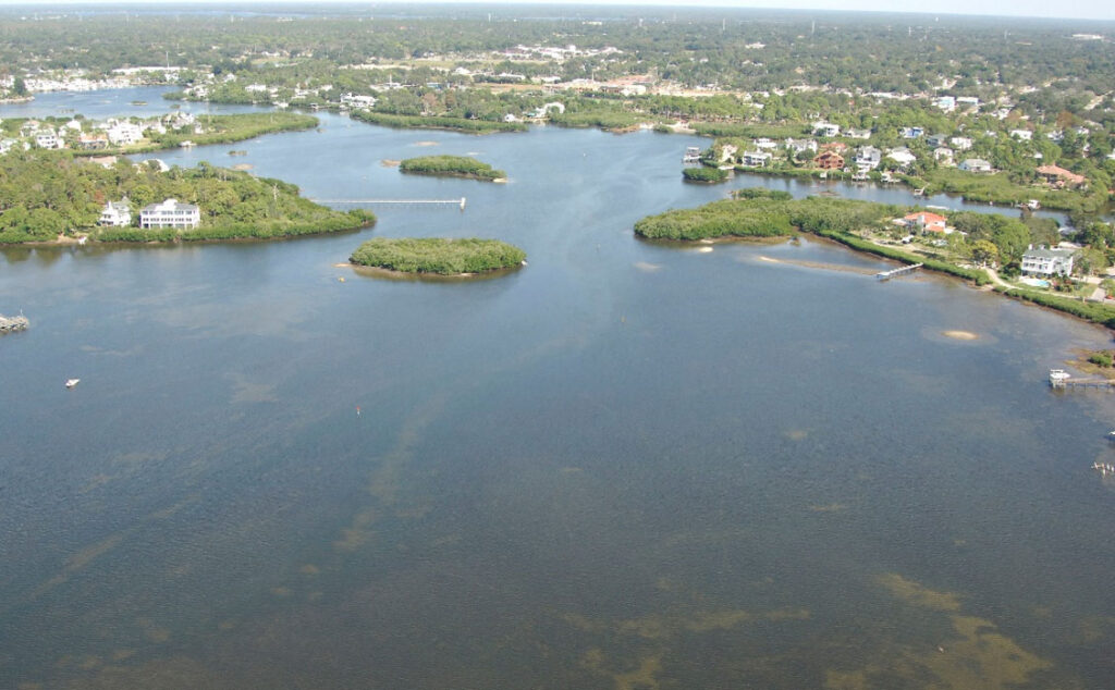
The Southerland Bayou Watershed is in northwest Pinellas County and covers approximately 2.4 square miles of urban developed neighborhoods with elevations ranging from a high of 83 feet NAVD to a low of sea level at its various tidal discharge points to Sutherland Bayou and St Joseph Sound.
This study’s primary focus is on water quality, flood control, and natural systems improvement. A future conditions analysis will measure the influence of sea level rise and rainfall intensity on the flood level of service for roadways and structures.
 LWES is creating a Hydrologic and Hydraulic ICPR4 model which will be verified using measured flood water levels from Tropical Storm Eta and will include storm surge and 2 km hourly Doppler rainfall data. The results from the design storm simulations will be used for floodplain mapping and to analyze the existing and future LOS conditions throughout the watershed. Design alternatives will be developed to address flooding conditions, water quality improvements, and resiliency to climate change.
A subsequent phase of the project will include a vulnerability assessment and development of an adaptation plan for the watershed.